
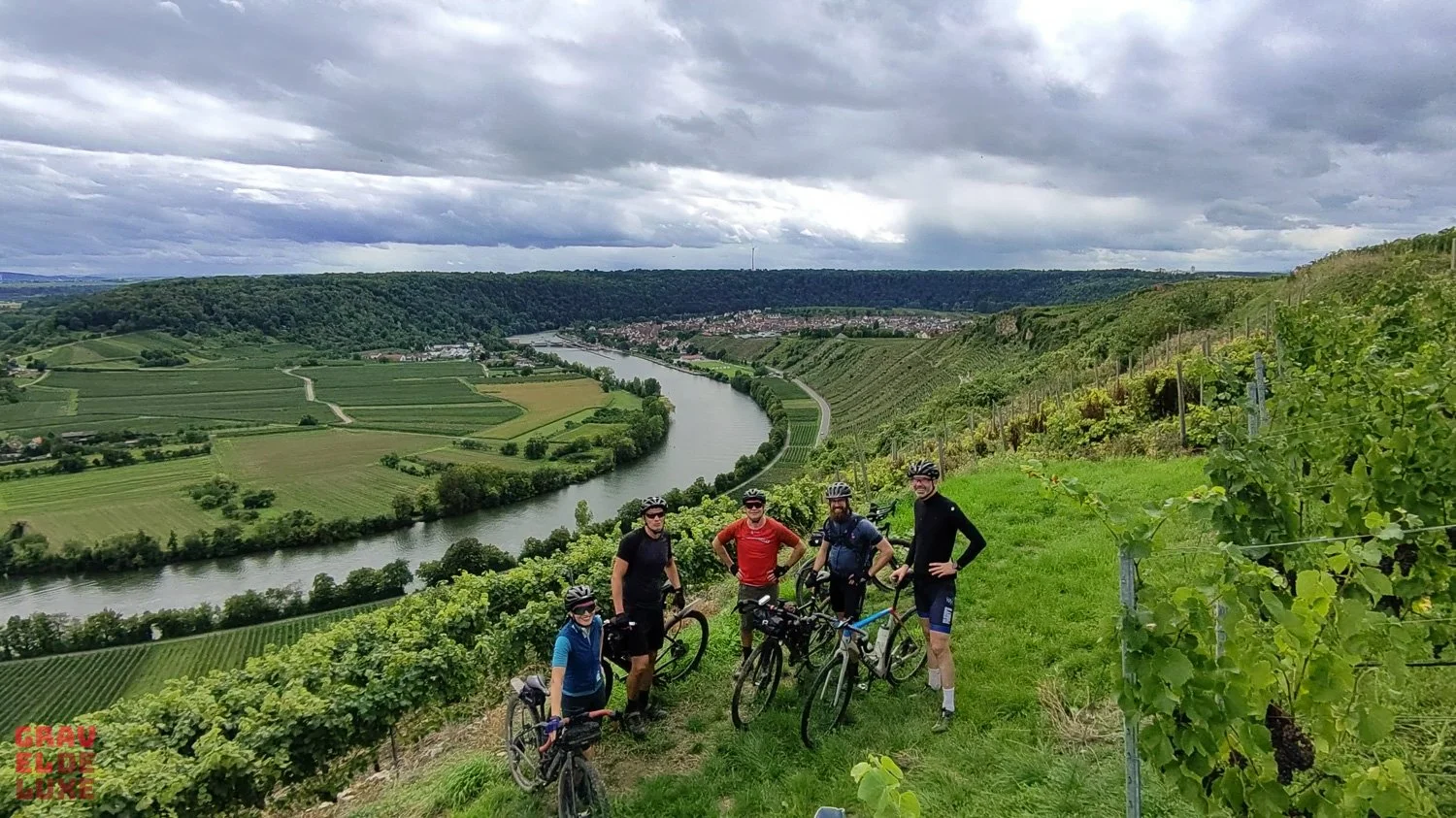
5 Höhenmeterreiche Orbit 360 Gravelbike Touren - Schweiz Edition 2022
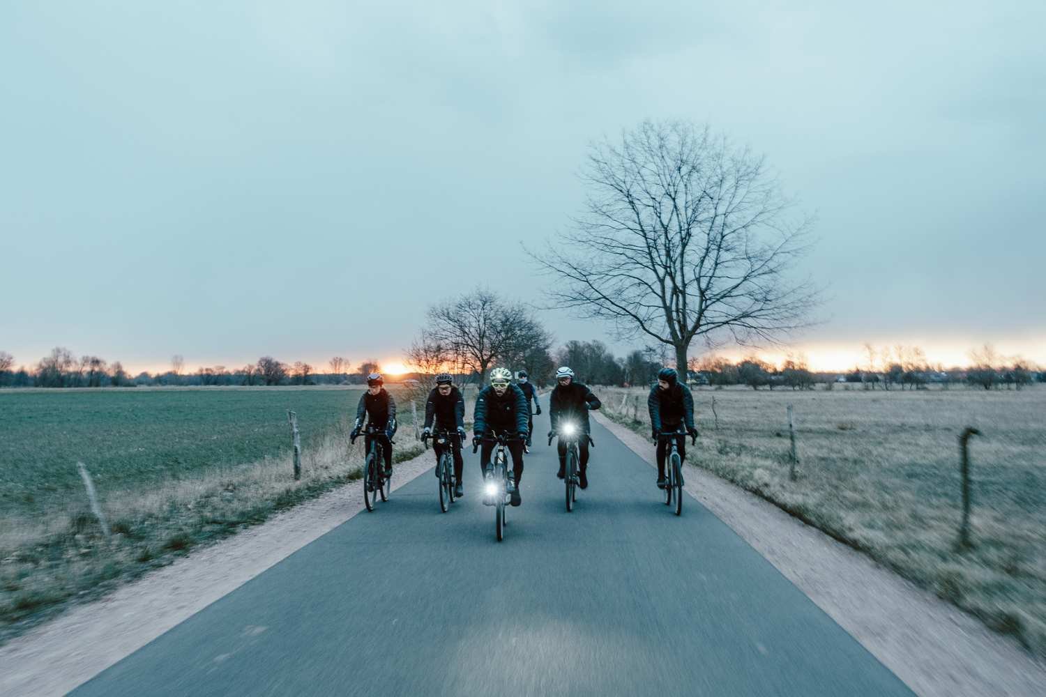
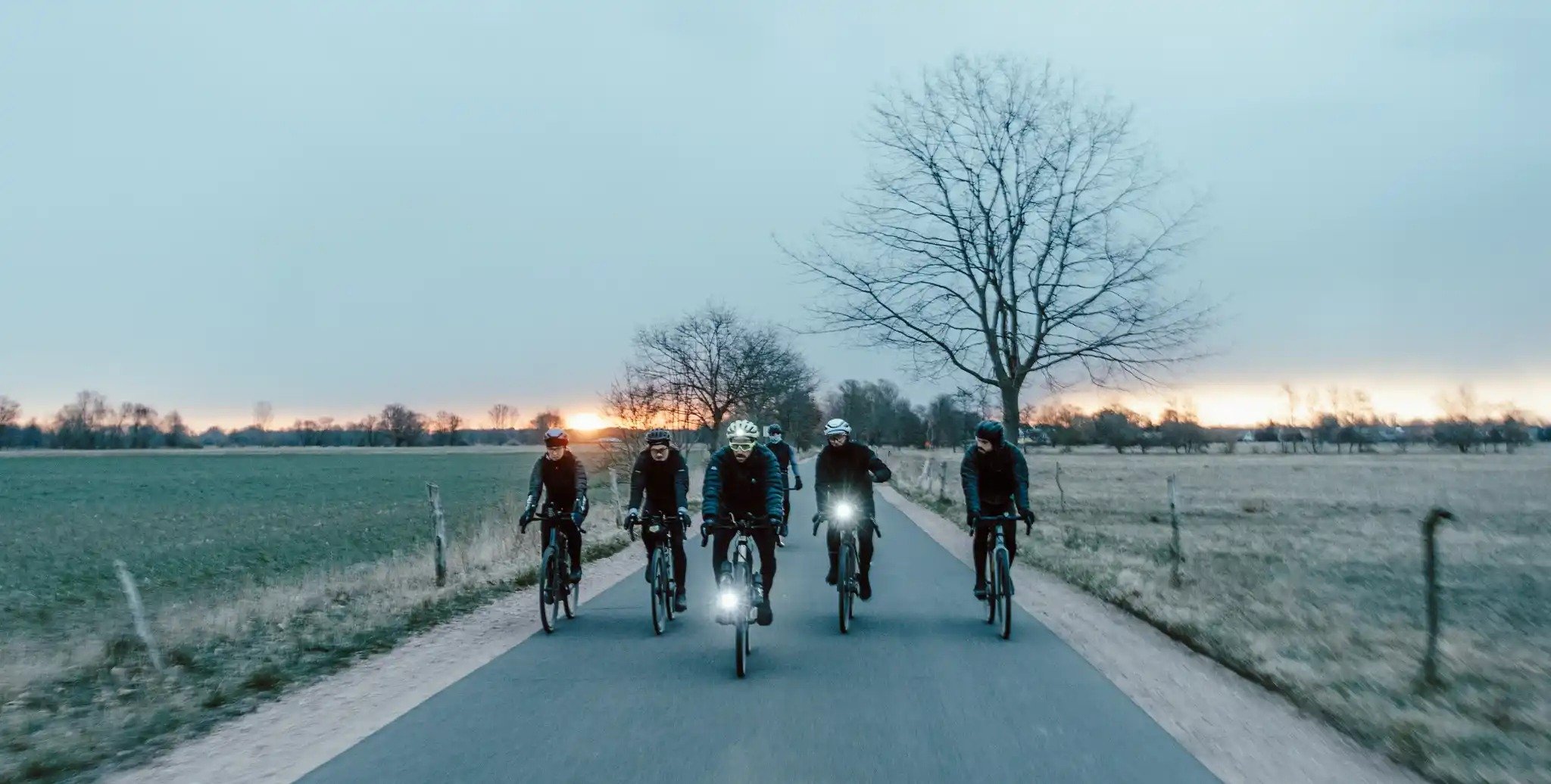
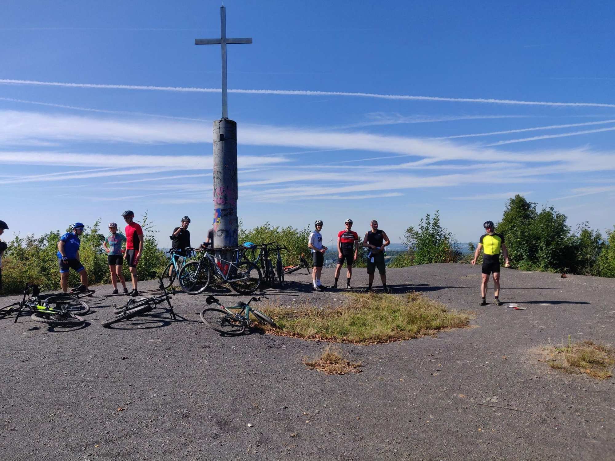
Es ist wieder soweit. Die Orbit360 Saison hat für die Ausdauer- und Hearusforderungs-Liebhaber unter den Gravelbike Fahrern angefangen. Diesmal gibt es sogar zwei Serien - eine in Deutschland und eine in der Schweiz. Unter den sehr interessanten Routen sind zwar einige dabei bei deren Zahlen man etwas schwindling wird (besonders wenn man bedenkt dass man mehrere fahren muss um in eine Wertung aufgenommen zu werden) - aber ich denke dass sie auch für alle Gravelbike Fahrer interessantes Futter und Inspiration für andere Fahrer sein kann. Ob jetzt als mehrtägige Bikepacking Tour - oder wenn man nur ein Teilstück fahren möchte.
Die Registrierung ist offen - also nicht wie los.
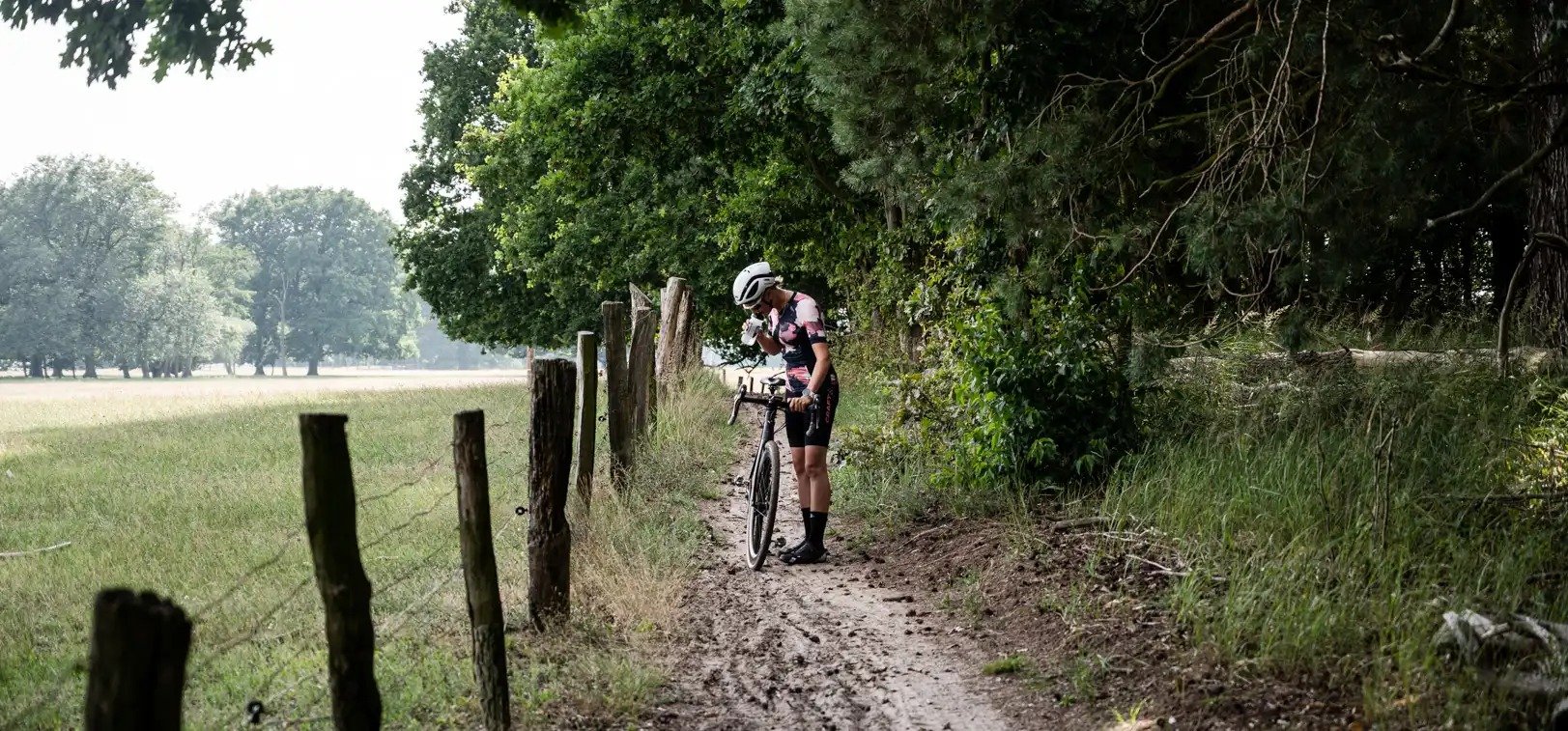
Welcome to the first Orbit360 Series in Switzerland. In this collection we will present you the six Orbits of the first Swiss Orbit360 Edition. You will face long climbs and descents, pass iconic peaks in the Alps and ride along beautiful lakes. But you will also have the chance to discover Switzerland apart from the Alps. Long gravel Routes, smooth tarmac and harsh singletracks, this collection has it all. But be warned: you’ll need strong legs! #letsorbit
The rules of ORBIT360
Orbit360 is an unsupported ultra-endurance gravel series. The race window is open from the 4th of June until the 14th of August. Everyone can take part in this race, if they are willing to face this galactic challenge and are registered for this race on the Orbit360 website. You will earn points for every completed orbit, that will be added to the ranking.
The routes are kindly scouted by locals out of our community. Every Orbit is a roundtrip, hence the name, and can be started at any point of the route. Your ride has to be self supported and you should follow exactly the given route. If there are any obstacles, let us know! You will find all routes in this collection, once they are all released, check our website to find out when we will release the next route. More information on the badges, routes and the ranking can be found on our website. https://orbit360.cc
In a nutshell
👉 get registered on our website
🚴♂️Ride solo or in a peloton. Ride as many Orbits as you want.
✔️ Upload your tour to komoot and @ the Orbit360 account
✏️Re-name the tour after the name of the Orbit (Votec Velocity, Planetary Path..)
The Gravelbike Routes of Orbit360
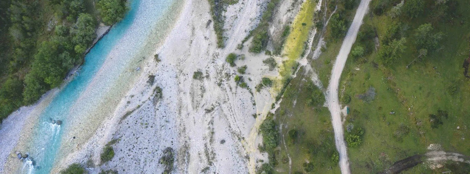
Dust Detector - Jura (scouted by Mathis & Francesco) (180 km | 19:10h | 9,4 km/h | HM 4520 m)
You will really rollercoaster the backyard of Basel. Beautiful views from the first "Jurakette" into the Alps and Black Forest. This Orbit gives you insides from the roman empire and swiss military architecture up to an old cultural landscape, shaped by farms and millions of cows. We recommend a start in Rheinfelden. Between Frick and Frenkendorf you will find some resupply, but don't count on open shops. Farms with self-service and restaurants help you to survive. The north from Frenkendorf to Frick slope allows better resupply. Please watch out for some stairs, some damaged roads due to heavy winters, steep downhills and closed farm gates. From 26th to 28th of August 2022 the Swiss "Schwing- und Aelplerfest" will take place, watch out for that. The Orbit offers you 18 km flat, after a tough climb from Mumpf to Bözberg, the Rollercoaster kicks you upside down and back. You will dive deep into typical Jura views, lots of cows and thousands of swiss yellow signs for every kind of outdoor sport. After Gempen you start downhill to Frenkendorf, followed by smaller hills to the finish. There are a lot of fireplaces for excellent barbecue and spots for the night. Be aware of local fire restrictions. Please take into consideration that on sunny weekends a lot of hikers will be on most of the track. You will cross some roads, often after a long and fast descent.Planetary Path - Oberwallis (scouted by Sara Bukies & Andreas Krucker) (141 km | 18:38h | 7,6 km/h | HM 4710 m)
The route starts in Visp at the train station, because Visp is easy to reach by train from everywhere. After the start follows a first small climb before the route descends rapidly to Brig. From Brig, the route continues along the river into the Goms. From Mörel begins an incredibly long climb to the Breithorfurgge, which is the highest point of the route at 2451 meters above sea level. A beautiful descent takes you for the first time to the small village of Binn. From here the Orbit does an additional loop, passing the tree line for the second time. Through a spectacular gorge and over a small in-between climb you reach the Goms again. After a side trip to Niederwald, you reach Fiesch, the largest village in the Goms and certainly a good opportunity to recharge your batteries. The last big ascent to Bettmeralp follows. The ascent is on a south-facing slope, so it can get quite hot. Additional motivation, however, is provided by the view of the other side of the valley, where the gravel road to Breithornfurgga, which has already been ridden in the morning, is clearly visible. If you have time, you could go up the crest (there are cable cars) To get an astonishing view over Eiger, Mönch, Jungfrau and the mighty (but sadly shrinking) Aletsch-Glacier, the biggest in the Alps. After Bettmeralp follows the descent to Brig, which once again requires full attention. Having reached the valley, the route continues along the river back to Visp.Cosmic Conjunction - Chasseral (scouted by Sacha Mutel) (154 km | 15:28h | 9,9 km/h | HM 3890 m)
Bonjour et Attention you are entering a French Speaking Space!! A nice rolling big hills Orbit through the Swiss Jura around the almighty Chasseral, starting with the warm up in the vineyard from Neuchatel and taking the direction of the Doubs river (French border). The way back will be by Mont Soleil (Sun peak) where you can find some meteorites crash sites if you are curious and then the last push between Corgémont and Orvin to have a perfect landscape on the Alps. It is a wild trip but uphill is worth the effort. There is not a lot of food supply on the way, be careful and be smart! You can always go to a bigger city like La Chaux de fond or St Imier to get food or other supplies. But your ride will be longer and with more D+. The water from almost fountains in every small towns is drinkable. We did the route as it is a wild galaxy and beautiful constellation, so enjoy it the same way we did. You can easily do it as an overnight trip or try to finish within a day.Engadin Eclipse - Engadin (scouted by Lukas Rathgeber) (183 km | 19:18h | 9,5 km/h | HM 4740 m)
There are many options to start. The Route is planned with start and finish in Pontresina at the Trainstation. Other Options are Livigno, Santa Maria or Scuol. From Pontresina, the route is gravelish heading towards Berninapass. Just before Diavolezza "Talstation" the route follows the beautiful "Val da Fain" on the left-hand side all the way to La Stretta. It should be ridable to the top (La Colma 2500m). Afterwards is a short, steep and rocky downhill which is only rideable for experienced riders (S4), others have to hike the first part of the downhill to the beginning of the S1 track. From there the route is heading towards Livigno. A good point for resupply and high elevation training camps. The route continues alongside Lago di Livigno before heading towards Lago di San Giacomo to the right. Followed by Lago di Cancano the route is heading towards a Transcontinental Checkpoint. It's a beautiful but very hard climb up to Monte Pedenolo and ends up at the Bocchetta die Forcola at 2768m. The route follows a downhill track to the summit of Umbrailpass and from there further down to Santa Maria on pavement. Santa Maria is another good spot for resupply. Afterwards the route heads up to Pass da Costainas and follows the nice valley to S-Charl all the way to Scuol. From there the route is folllowing the Graveltracks of the famous Engadin-Valley all the way back to Pontresina. Zernez is another good place for resupply. Don't underestimate the elevation of the route! Be aware of the mountain region and fast weather changes. It's alpine for long stretches. Be aware of your gearing. Bring your lowest gears and widest tires.Votec Velocity - Berner Oberland (scouted by Fabian Burri) (212 km | 17:39h | 12,0 km/h | HM 4650 m)
The start point is in front of the federal building in the city of Bern, capital of Switzerland. the first few kilometers are through the old town of Bern with its fountains and sandstone houses. Through the „Matte Quartier“ you leave the city center along the river „Aare“ and climb up to the public Zoo „Dälhölzli“ where you already enter a forest and the tarmac turns into gravel. Crossing the Aare for the second time you will start gaining some altitude up to the „Hausberg Gurten“ with a super view over the whole city. Enjoy the gravel descent into the Gurten valley and again up to the second guardian the Ulmizberg or „Ulmizer“. Up and along the „Lengenberg chain“ you will reach Riggisberg. Soon you enter the bike-path to Schwarzenburg. The next eye-catcher is the Guggershörnli before we start the biggest climb to the Voralpenpass Gurnigel (1608m). You will be rewarded with a long gravel descent to the city of Thun, where you will find many options to re-supply. You'll climb up to the point where the INFERNO TRIATHLON road track joins you towards Beatenberg (Schlucht) down and along the bay of lake Thun back to Thun. Forests and farm fields will guide your way up and down touching the area of Emmental (famous cheese) back to Bern again. Before finishing at Bundesplatz, have a coffee stop at tac tac cycling. (Turn right to Gotthelfstraße when you are on The Viktoriastraße in Bern.)
Weitere Routen von Orbit360


(c) Foto https://www.komoot.de/user/orbit